
Drone data acquisition
Decision-ready data,from the air.
FAA-licensed pilots capture your sites; we turn it into measurable, decision-ready data — across construction, roofing, telecom, utilities, and wind.
- FAA Part 107 Licensed
- Level 1 Thermography Certified
- Fully Insured
- NDAA-Compliant Drones
Who we are
We are a data-acquisition company.
We send FAA-licensed pilots to your sites and turn what they capture into measurable, decision-ready data. One team across five specialties, the same disciplined process every time — wherever the work takes us.
See what we captureWhat we do
Five services,
Pick the work that fits your site. Every engagement runs through the same disciplined capture-and-deliver process.
 View service
Construction
Earthworks tracking and cut/fill volumes you can build decisions on.
 View service
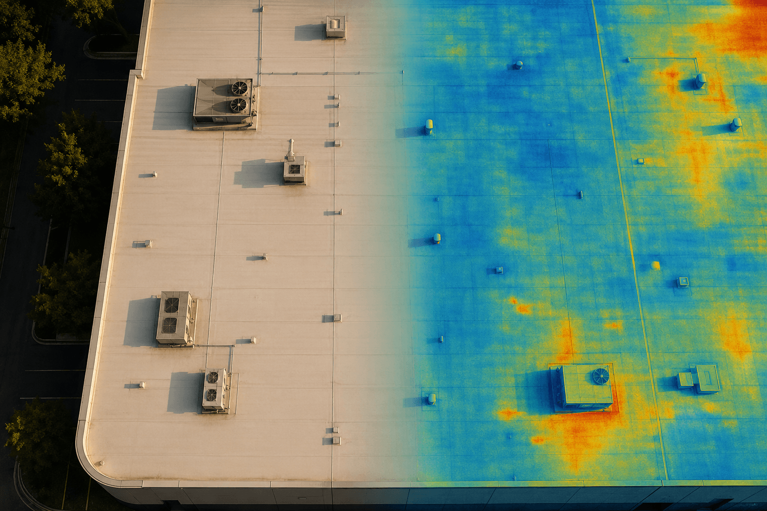
Infrared Thermal Roofing
Level 1 thermography that finds trapped moisture before it spreads.
 View service
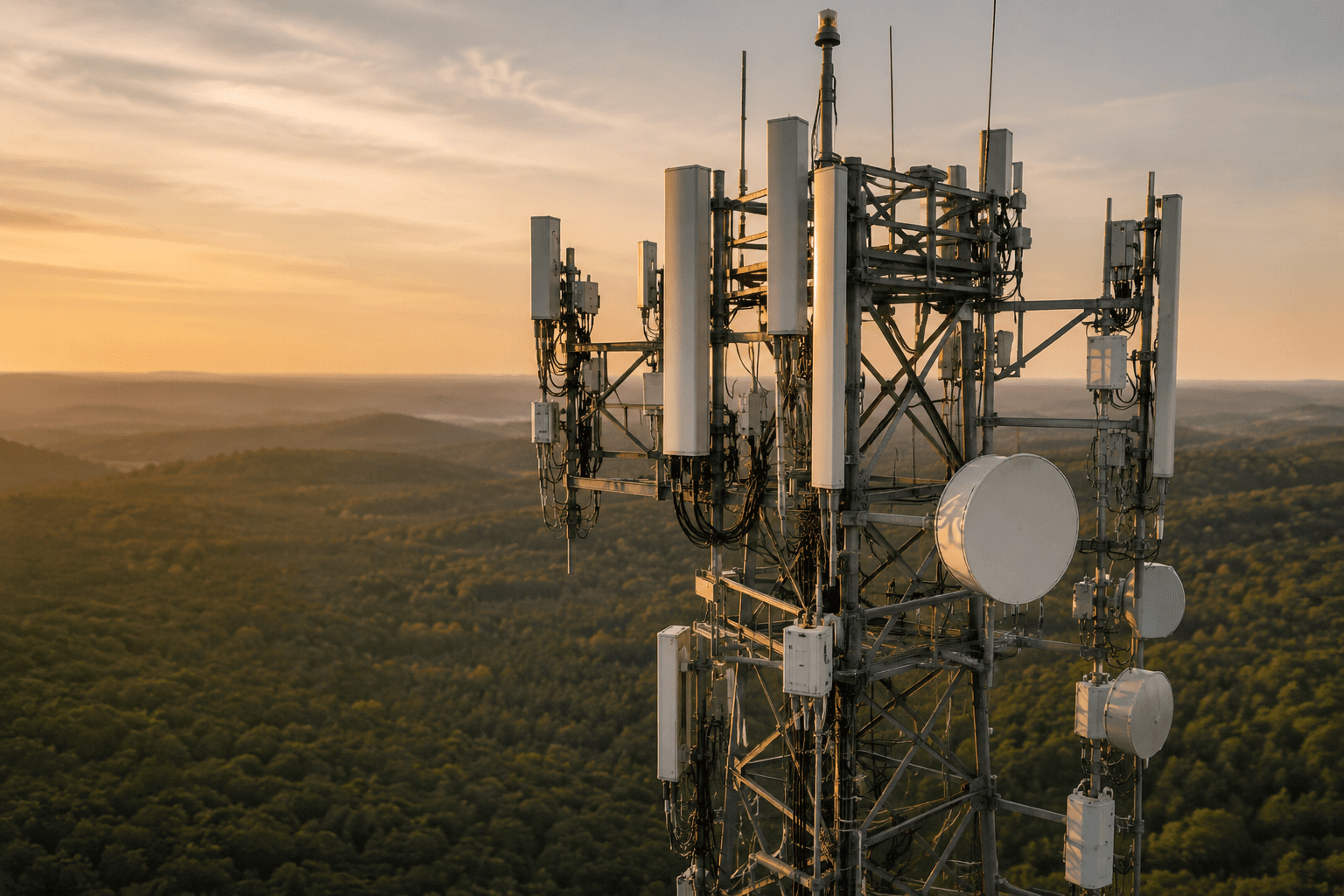
Telecom Towers
Close-quarters tower inspections without sending a climber up.
 View service
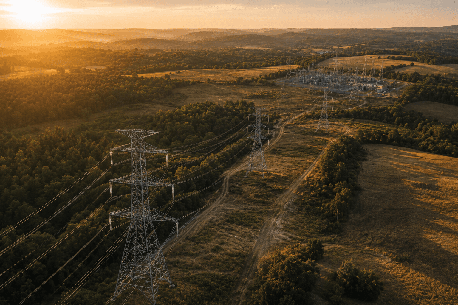
Utilities
Line, substation, and asset inspection with GIS-ready output.
 View service
Wind Turbines
Per-blade defect imagery that keeps turbines turning.
- Get a quote
Not sure which fits?
Tell us about the site and we will scope the right capture plan for you.
Tell us about your project.
Our process
A simple, repeatable
The same disciplined path on every engagement — so you always know what happens next, and the data shows up exactly as promised.
- Step 01
Discovery
Needs & feasibility
A quick 15-minute call to define your goals, confirm the location, and gather any existing data. We evaluate FAA airspace restrictions and file for any required waivers.
- Step 02
Planning
Flight & project plan
We set the flight schedule and hold a kickoff call. A UAS Operations Document notifies nearby residents, the scope and deliverables are locked, and you get a proposal and quote.
- Step 03
Flight
Capture day
We confirm mission details, check weather, and open a comms channel. The pilot checks in on arrival, sets up a safe operating area, flies the mission, and reviews the data on-site.
- Step 04
Review
Deliver & review
We review the data together on a screenshare. After final payment we securely transfer the files and handle upload, sorting, and analysis — with an internal QA pass against our standards.
Why Vision Pulse Drones
Credentials that
The certifications and coverage that let you put us on any site — commercial, critical-infrastructure, or government — without a second meeting.
FAA Part 107 Licensed
Every flight is run by a certificated remote pilot. We handle airspace authorizations and waivers so your project stays compliant from day one.
Level 1 sUAS Thermography Certified
Certified infrared expertise means our thermal roof inspections are captured and interpreted correctly — not just pretty pictures, but defensible findings.
Fully Insured
We carry commercial drone liability coverage and provide certificates of insurance on request, so adding us to your site is never a risk conversation.
NDAA-Compliant Drones
Our fleet includes NDAA-compliant aircraft, so we are cleared for government, defense, and critical-infrastructure work with no supply-chain concerns.
Get a quote
Tell us about
Share the scope and we’ll send back a quote. The more you tell us about the site and timeline, the sharper the number.
- FAA Part 107 licensed pilots
- Level 1 sUAS thermography certified
- Fully insured · NDAA-compliant drones