
Vision Pulse Drones service
Construction
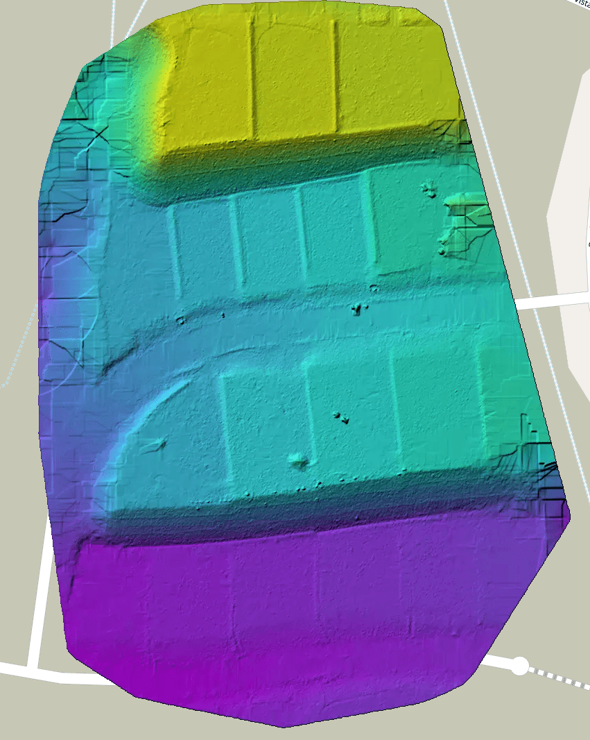
Recurring aerial capture turns your jobsite into measurable data — earthwork progress, stockpile volumes, and cut/fill against your design surface, visit after visit.
What you get
High Quality Data
We gather data to work with your licensed team to create clean, decision ready outputs.
- Survey-grade orthomosaic maps
- Cut/fill and stockpile volume calculations
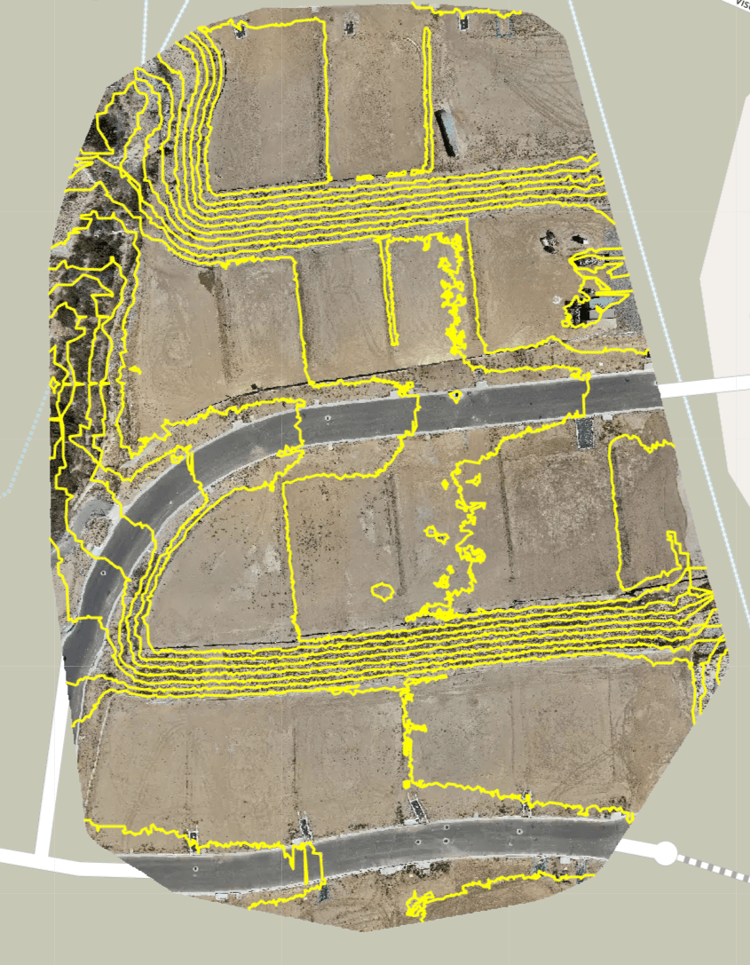
- Topographic surfaces & contour lines
- Earthworks progress tracking over time
- Dense point clouds (LAS/LAZ) and 3D meshes
Potential Applications
One flight.
Real outputs from processed jobsites. Toggle the scan layers the way your team would in GIS, and watch a stockpile become an accurate volume number.
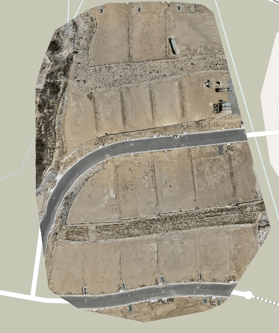
True-color basemap stitched from hundreds of geotagged frames — measurable, to scale.
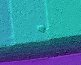
Measurement
Base: triangulated
Then it goes
Dense point clouds become textured meshes and measurable solids — exportable to the formats your engineers already live in.
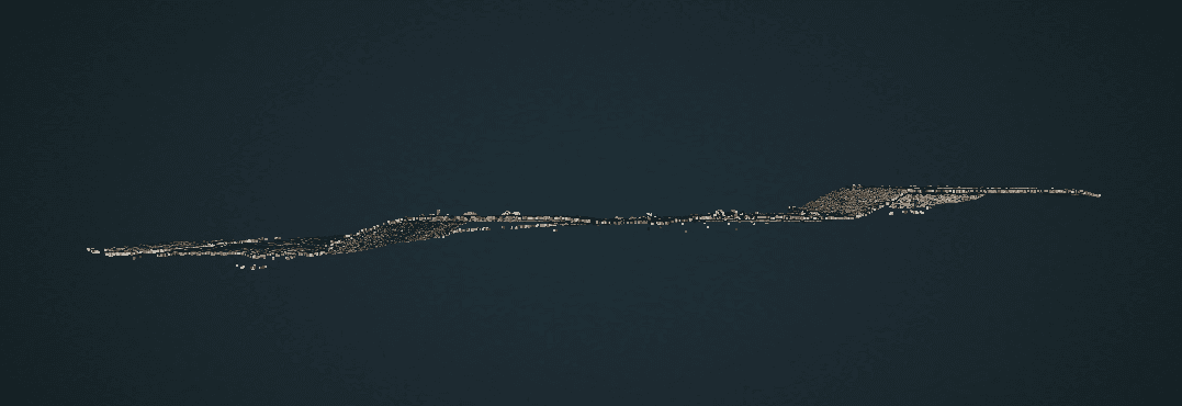
Site mesh — obliqueFull-site textured mesh, flyable in the browser 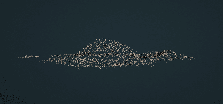
Stockpile solidThe surface the volume is computed against 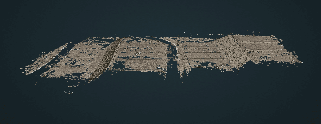
Site mesh — detailExported as OBJ / 3D Tiles for your tools
How we scope it
What we need
To quote a construction project we need the size of the site and how often you want us on it. Acreage drives flight time and processing; visit frequency drives the schedule and the per-visit rate.
Tell us
- Site acreage
- Visits per week
- Project length / timeline
Our process
Four steps,
- 01
Discovery
Needs & feasibility
- 02
Planning
Flight & project plan
- 03
Flight
Capture day
- 04
Review
Deliver & review